Detecting earthquakes early can save lives and reduce damage by providing critical seconds to minutes for people and systems to take protective actions. While predicting the exact time, location, and magnitude of an earthquake remains impossible, earthquake early warning (EEW) systems and emerging technologies offer effective methods for rapid detection and alerting.
1. Earthquake Early Warning (EEW) Systems
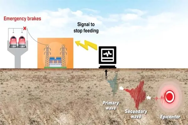
EEW systems detect an earthquake as it begins and send alerts before the most damaging seismic waves arrive. They do not predict earthquakes but provide real-time warnings based on initial seismic activity. Here’s how they work:
- Seismic Sensors and P-Wave Detection:
- Earthquakes generate two main types of seismic waves: compressional (P) waves, which travel faster and are less destructive, and shear (S) waves, which are slower and cause stronger shaking. EEW systems use seismometers or accelerometers to detect P-waves as soon as an earthquake starts.
- Sensors are placed in a network across earthquake-prone regions. When P-waves trigger these sensors, data is sent to a processing center to estimate the earthquake’s location, magnitude, and expected shaking intensity.
- Alerts are then transmitted to people and automated systems before S-waves or surface waves arrive, providing seconds to tens of seconds of warning. For example, Japan’s EEW system, operational since 2007, issued alerts during the 2011 Mw 9.0 Tohoku-Oki earthquake, reducing casualties.
- Examples of EEW Systems:
- ShakeAlert (USA): Managed by the USGS, this system serves California, Oregon, and Washington, using over 700 seismometers to detect earthquakes and send alerts via apps or automated systems (e.g., slowing trains or closing water valves).
- Japan’s EEW System: Uses about 1,000 seismographs and seismic intensity meters to detect P-waves and estimate shaking intensity, considered one of the most advanced systems globally.
- Canada’s EEW System: Operational in British Columbia since 2024 and expanding to Quebec and Ontario in 2025, it provides warnings for earthquakes above magnitude 5.
- Other countries like Mexico, Taiwan, Turkey, Romania, and China also have operational EEW systems.
- Limitations:
- People near the epicenter may receive little to no warning due to the short time between P- and S-wave arrivals (the “late alert zone”).
- Small earthquakes may not trigger alerts if shaking is below a certain threshold (e.g., magnitude 5 or intensity IV).
- Dense sensor networks are required for faster detection, and sparse networks can delay alerts.
2. Seismometers and Seismographs
Traditional earthquake detection relies on seismometers, which measure ground motion caused by seismic waves.
- How They Work: Seismometers use the principle of inertia, where a suspended mass remains still while the ground moves, recording vibrations as electrical signals displayed as seismograms.
- Location Determination: By analyzing the arrival times of P- and S-waves at multiple seismometer stations, scientists can triangulate the earthquake’s epicenter. The time difference between P- and S-wave arrivals indicates the distance from the sensor to the earthquake.
- Applications: Seismometers are critical for EEW systems and for studying earthquake characteristics like magnitude and depth. Modern seismometers use three sensors to capture motion in all directions.
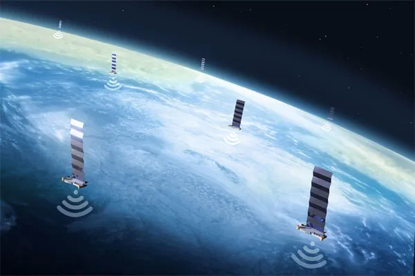
3. IoT and Cloud-Based Technologies
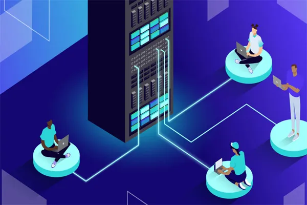
The Internet of Things (IoT) and cloud infrastructure are transforming earthquake detection by enabling real-time, scalable monitoring.
- IoT Sensors: Unlike traditional seismometers, which are expensive and require maintenance, IoT sensors are cost-effective and can be deployed in diverse locations (e.g., buildings, underground). They provide continuous data, allowing for denser monitoring networks.
- Cloud Infrastructure: Cloud systems process large volumes of seismic data in real time, using advanced algorithms like Fourier transforms or wavelet analysis to analyze seismic wave characteristics and filter out noise.
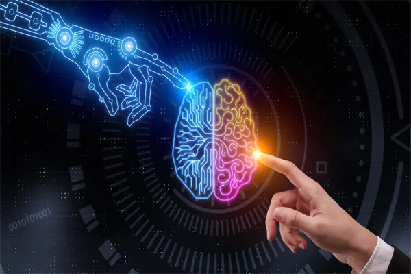
- Machine Learning (ML): ML algorithms, such as those used in the Distributed Multi-Sensor Earthquake Early Warning (DMSEEW) system, combine data from IoT sensors and GPS to distinguish earthquake signals from noise, improving detection accuracy.
- Drones: Drones equipped with sensors and communication technologies (e.g., 5G) can collect data in remote or disaster-affected areas, enhancing EEW systems.
- Benefits: IoT and cloud systems improve the speed and effectiveness of alerts, potentially saving lives and reducing economic impacts. They also support sustainable EEW system designs.
4. Smartphone-Based Detection
Smartphones with built-in accelerometers and GPS can act as mini-seismometers, forming large-scale detection networks.
- Android Earthquake Alerts System: Google’s system uses smartphone sensors to detect potential earthquake signals and sends them to a server, which combines data from multiple devices to confirm an earthquake. It provides alerts in California via ShakeAlert and globally using crowdsourced data.
- LastQuake App: This app allows users to report felt tremors, helping to confirm earthquake occurrences in real time.
- Challenges: Distinguishing earthquake signals from human activity (e.g., walking) requires further research to reduce false positives.
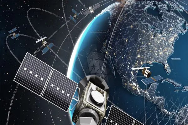
5. GPS and Geodetic Monitoring
GPS stations complement seismometers by measuring ground displacement, especially for large earthquakes (magnitude 7.0+).
- How It Works: GPS stations track tectonic motion and sudden ground movement during earthquakes, providing precise data on fault slip. They are particularly useful for slow or low-frequency motion that seismometers may miss.
- Applications: Real-time GPS data improves EEW systems by refining magnitude estimates for large earthquakes, as seen in the 2011 Tohoku-Oki earthquake, where initial seismometer-based estimates were too low.
- Limitations: GPS is less sensitive to small earthquakes compared to seismometers.
6. Potential Precursory Methods (Under Research)
While no reliable method exists for predicting earthquakes before they occur, some precursory signals are being studied, though they lack consistency and reliability.
Radon Gas Emissions: Increased radon gas release from rock fissures has been observed before some earthquakes, but it’s not consistent enough for prediction.
- Animal Behavior: Anecdotal reports suggest animals may exhibit unusual behavior before earthquakes (e.g., fleeing or restlessness), possibly due to sensitivity to P-waves or other precursors. However, these are not scientifically reliable.
- Electromagnetic Signals: Methods like the VAN method measure changes in geoelectric potential, but their reliability is debated.
- Groundwater Chemistry: Changes in groundwater composition or levels have been noted before some earthquakes, possibly due to tectonic stress, but these are not universally applicable.
- Foreshocks: Small tremors (foreshocks) sometimes precede larger earthquakes, but they are not always distinguishable from regular seismic activity.
- Machine Learning Models: Recent trials, such as one in China, suggest ML algorithms could predict earthquakes with some accuracy (e.g., 70% success in a seven-month trial), but these are experimental and not yet operational.
7. Challenges and Future Directions
- Challenges:
- Earthquake prediction remains unfeasible due to the complexity of tectonic processes and the lack of consistent precursors.
- EEW systems are limited by sensor density, data processing speed, and proximity to the epicenter.
- False positives and negatives in precursory methods reduce reliability.
- Future Directions:
- Increasing sensor density and integrating IoT, GPS, and smartphone networks to improve detection speed and coverage.
- Advancing ML and signal processing (e.g., wavelet analysis) to better distinguish earthquake signals from noise.
- Exploring satellite-based thermal imaging to detect tectonic stress-related temperature changes.
- Developing cost-effective, sustainable EEW systems for global deployment, especially in earthquake-prone regions with limited infrastructure.